
Summary
In June 2011, the Swedish Ocean X team detected an unusual, roughly circular feature while using side-scan sonar to search for shipwrecks in the Baltic Sea. The approximately 60-meter-wide formation appeared strikingly geometric in the original sonar image and later became the subject of speculation involving a sunken structure or unidentified craft. Divers subsequently visited the site and recovered rock samples from the area. Geological analysis found ordinary rocks consistent with a glacially shaped seabed, while sonar specialists questioned the reliability of the original image. The exact formation has not been comprehensively mapped or identified, but available evidence strongly favors a natural geological origin.
Additional Notes
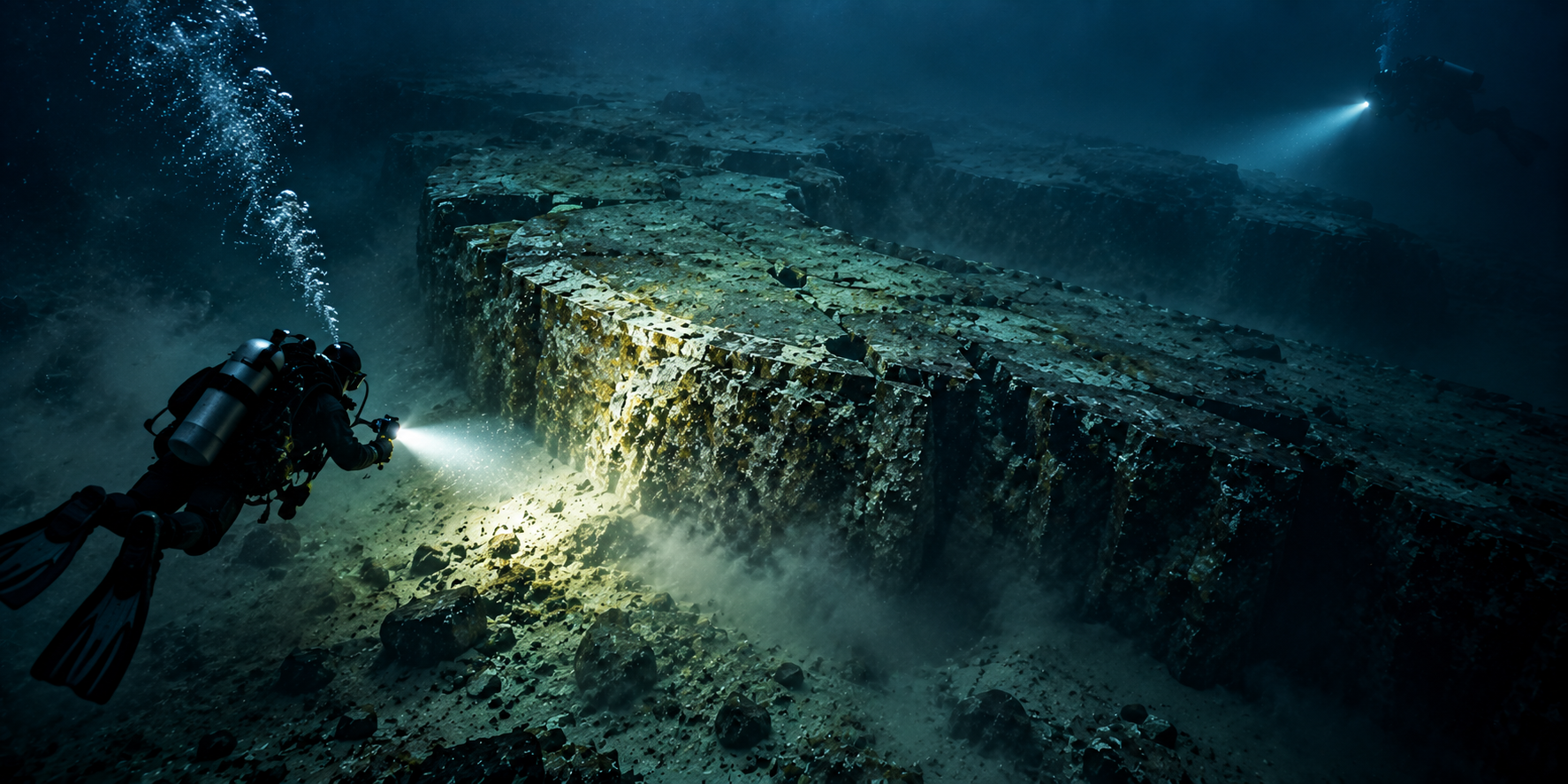
The Baltic Sea Anomaly was discovered in June 2011 by the Swedish Ocean X team while searching for shipwrecks in the Baltic Sea. A side-scan sonar image showed an approximately 60-meter-wide, roughly circular feature on the seabed. Ocean X itself acknowledged that movement of the vessel and sonar cable produced disturbances visible in the image, but the unusual appearance nevertheless attracted international attention. The apparent disc-like shape was soon compared with artificial structures and even a crashed spacecraft. Ocean X returned to the site in 2012 and divers examined the formation directly. They described a large rocky feature rising several meters above the surrounding seabed and recovered material for analysis. Some accounts from the expedition also described unusual holes, sharp-looking edges and other apparently structured features, although these descriptions originated primarily with the exploration team and have not been independently confirmed by a detailed scientific survey. Rock samples collected from the area were examined by geologist Volker Brüchert of Stockholm University. Most consisted of granite, gneiss and sandstone, together with a loose piece of basaltic rock. Brüchert noted that such material is compatible with the strongly glaciated geological history of the northern Baltic region and suggested that the feature and surrounding rocks were probably associated with glacial and postglacial processes. However, the available samples do not constitute a comprehensive geological sampling of the entire formation. The sonar evidence has also been questioned. Marine geologist Dan Fornari of the Woods Hole Oceanographic Institution noted that the image contains numerous artifacts and lacks sufficient resolution, detail and quantitative information for confident interpretation. Other sonar specialists have similarly warned that distortions in the data can create misleading impressions of geometric structures. Consequently, the apparent circular shape and other seemingly artificial details visible in widely reproduced versions of the image should be treated cautiously. No artificial material or independently verified technological structure has been documented at the site, and the available geological evidence favors a natural formation shaped by the Baltic region's glacial history. Nevertheless, no comprehensive peer-reviewed geological survey has established the precise structure and formation history of the entire anomaly. The Baltic Sea Anomaly is therefore best regarded as a poorly resolved underwater feature with a strong natural explanation rather than evidence of an unidentified craft or artificial construction.
The Location Today
The Baltic Sea Anomaly refers to a sonar-detected feature on the seabed of the Baltic Sea. It is underwater, with no developed public viewing site on land and no ordinary visitor access to the feature itself.
- Environment
- Ocean / Sea, Seafloor
- Time of Day
- Unknown time of day
- Evidence Level
- Investigated Case
- Visiting the Location
- Not Applicable
- Ownership of the Location
- Not Applicable